The Prestholt trail in Norway
While travelling through Norway in the summer of 2024, we stopped for the night in Geilo. Wondering what to do with the time we had, we stumbled upon the nearby Prestholt trail. This is a hidden gem of a hiking route in Hallingskarvet National Park. We slept in our rooftop tent at the entrance of the park and set off early in the morning hoping for some scenic views along the way.
Facts & Figures
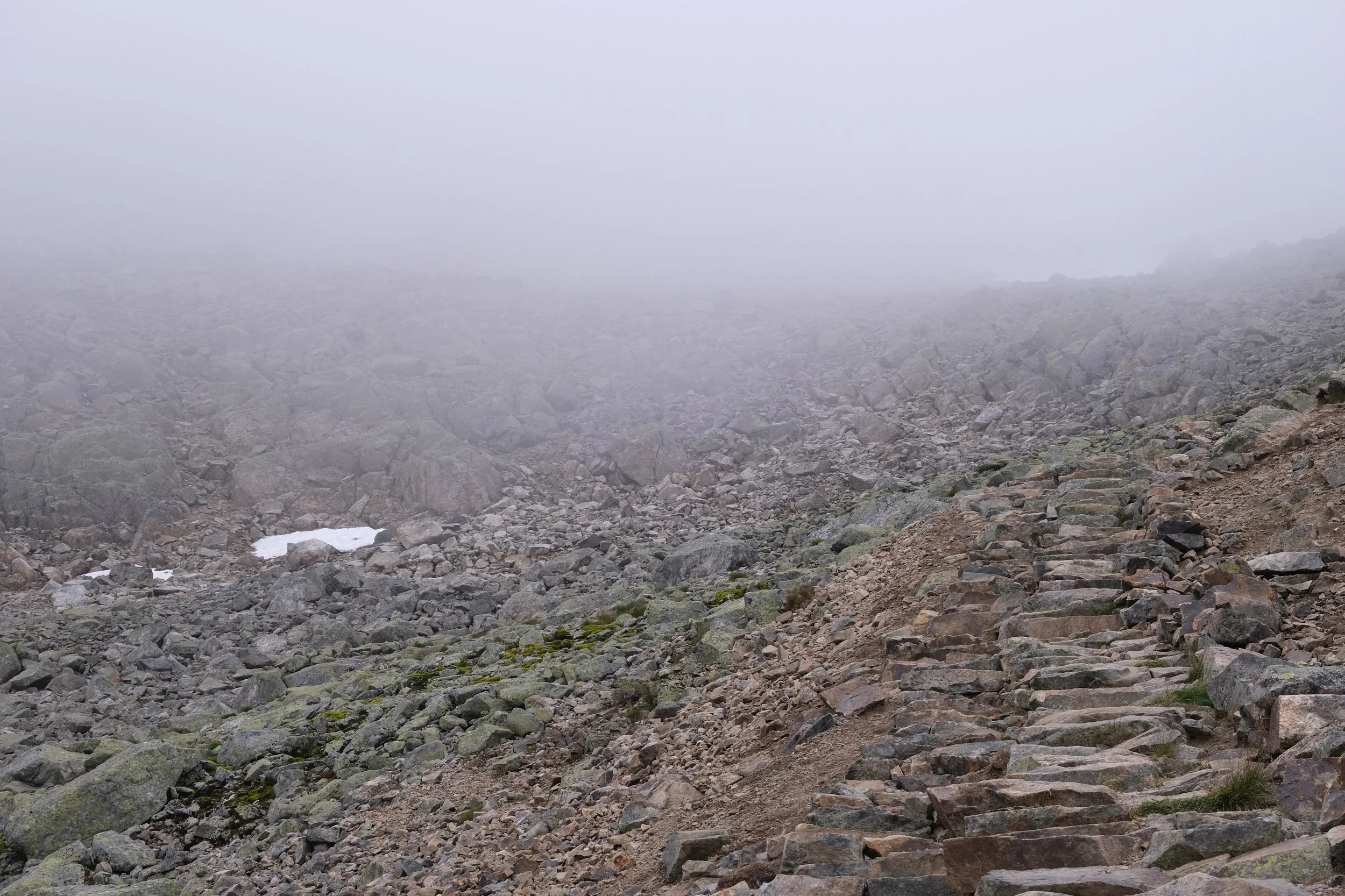
Hallingskarvet National Park is a beautiful national park in the south of Norway. Over 450 square meter big, most of it is taken up by the mountain Hallingskarvet itself. At the foot of the mountain and the entrance of the national park lies the Presholt trail. The Presholt trail is a relatively short hike which climbs quite steep and promises beautiful views. The stone steps you walk on are laid with the help of Nepalese Sherpas and were finished in 2013.
Distance: 6,7 km
Elevation: 480 meters
Time: between 2-3 hours
Starting point: Prestholtseter cabin - Nye Havsdalsvegen 150
Parking and fees
To get to the starting point of this hike, you could just start walking of from the city centre of Geilo. The benefit of this is that you will not have to pay toll for the road towards the Prestholtseter cabin. The downside is that you’ll have to walk at the side of the road for longer than the original hike is long. Instead, you can take Havsdalsvegen, a road from the city up to Prestholtseter cabin. Note that this is a ‘bomveg’, in other words: this is a tollroad. In the summer of 2024, the costs were 50 NOK (about 5 euros) for a car. There is an honesty box at the start of the road where you can leave the money or you can pay through Vipps if you have it. Please ensure you pay these tolls! They help the community make sure the local gravel and dirt roads stay in a good condition and mountain huts remain accessible for others.
We chose to drive up Havsdalsvegen a day early and took the toll road about halfway up to the cabin. Here, we found an amazing spot to park our car and put up our roof top tent. We had an amazing view over Geilo and the surrounding mountains. After watching a lovely early sunrise, we drove up to Prestholtseter in the early morning to set off on the Prestholt trail.
Hiking up Prestholt trail
When you arrive at Prestholtseter cabin there are plenty of options to park your car. The cabin itself does not open until 10.00u so if you arrive early you will have to wait to get some coffee when you return! When you set off you’ll see that the path is very clearly marked. The route immediately starts with climbing. The first hour takes you up a good number of stairs, which were put in place with help of Nepalese sherpa’s. These sherpa’s do a lot of trail renovation work in Norway in the off-season when they are not guiding tourists in their home country. The stone steps mean that while the path is steep and asks for some stamina, it is doable for a lot of different people. While you are climbing your way up you can see Prestholtseter cabin get smaller and smaller behind you. The stairs might seem a bit endless so don’t forget to enjoy the views!
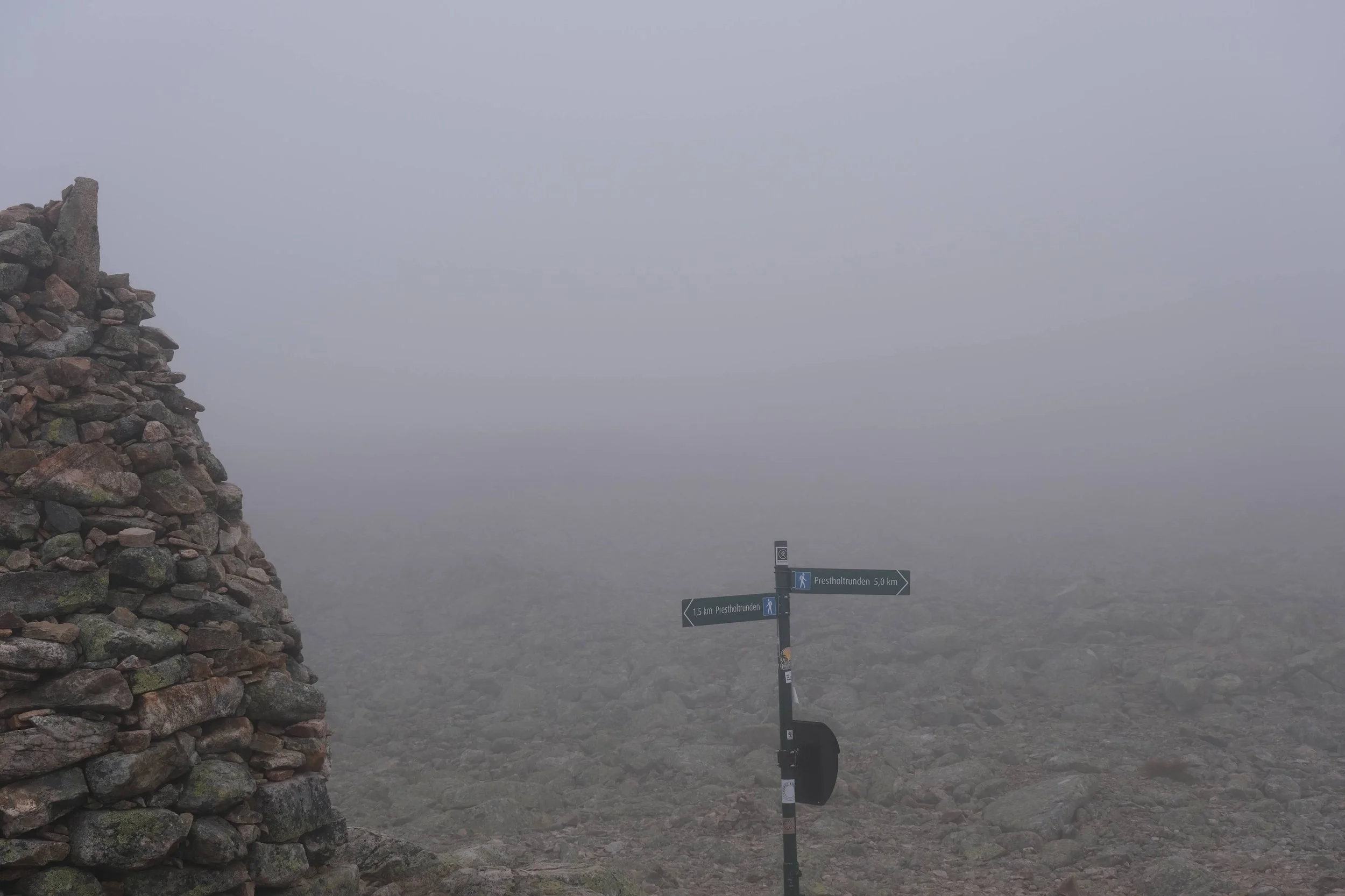
In about an hour and after climbing up almost 500 meters, you reach Skarvsenden, a peak at 1075 meters above sea level. With clear weather you will be able to see Hardangervidda mountain plateau and Hardangerjøkulen glacier from here. When we did this route, it was very foggy so we will have to come back for these views another time. Don’t forget to sign your name and country in the book that is kept at the lockbox at the top!
After all this hard work, you have to climb just a bit further, after which the rest of the route becomes downhill. The terrain is becomes quite rocky before transitioning into a dirt path. The views keep changing while you head back down the route and stay stunning and worthwhile! After around 6km the path flattens out and you head towards Havsdalsvegen from where you will walk the final bit back to the cabin.
Gear to bring
Even doing this route in the middle of August, this remains Norway so you should be prepared for all kinds of weather. The paths itself is quite easy and dry so you should be fine doing this in trailrunners. You should bring a hardshell in case of rain and also to protect you against the wind when you get to the top. We did this route in long hiking pants, a merino base layer and a fleece. After reaching the top, we added an insulating soft shell and a hat to keep the chill out and keep from cooling down to much. We also used our trekking poles which were especially useful at the beginning of the hike when the climbing is quite steep.
In terms of provisions you won’t have to bring a lot but it is always smart to bring water and some energy bars just in case. There is cell reception for the whole route so you should be able to call for help if necessary. And don’t forget your camera! The views are pretty sweet no matter the weather.


